Things We Put On Maps
Extra Writeups
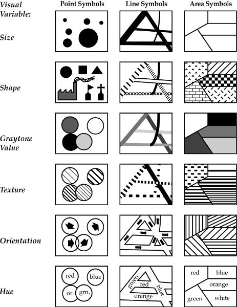
The Four Key Elements
- Scales
- Points
- Lines
- Areas
Scales (w/Rules of Thumb)

This comes up immediately, since we’ll be using Natural Earth data more and more (via the rnaturalearth library) to obtain country POLYGONs
The Three Key Elements
Thought Experiment: Zooming In and Out
- What happens to points, lines, and areas?
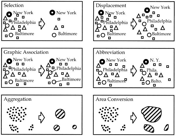
What Can Happen to Points?
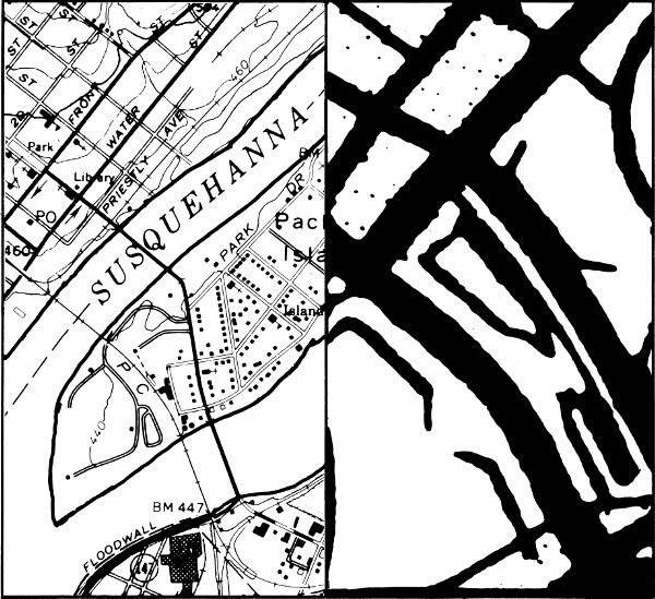
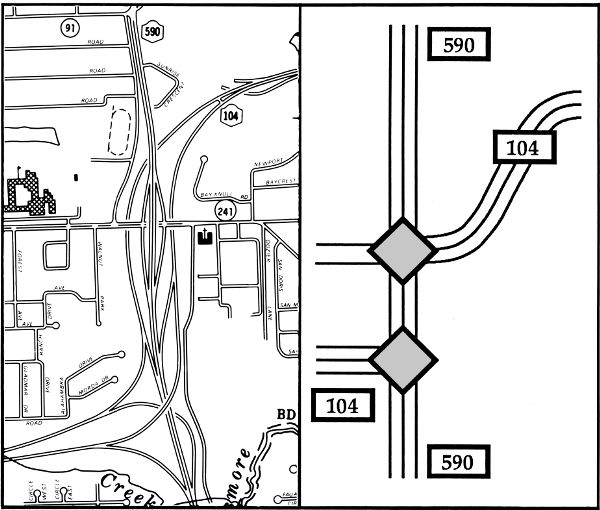
What Can Happen to Lines?
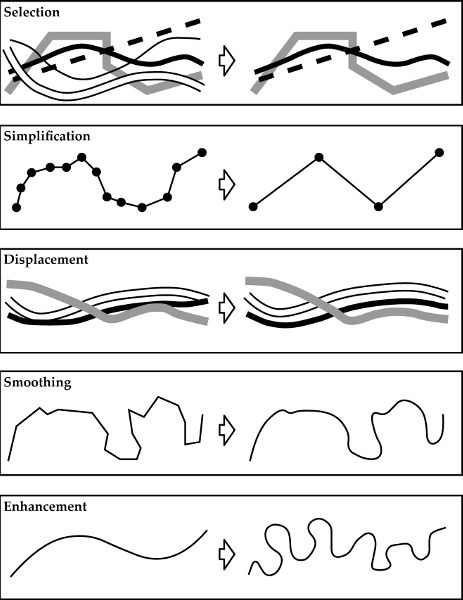
What Can Happen to Lines?
Selection

Simplification

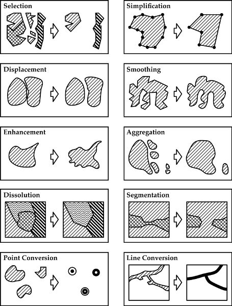
What Can Happen to Areas?
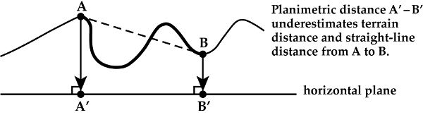
Areal Dimension Change

What Is Gained?
What Is Lost?
Who Is Affected?
References
Krygier, John, and Denis Wood. 2016. Making Maps, Third Edition: A Visual Guide to Map Design for GIS. Guilford Publications.
Monmonier, Mark. 2018. How to Lie with Maps. University of Chicago Press.